“Explore Nakasendo’s Post Towns by Bike: A Local Cyclist’s Guide to an Enjoyable Ride”

Hi there long time no see.
Today, I will explain how to explore a post town of Nakasend by bike.
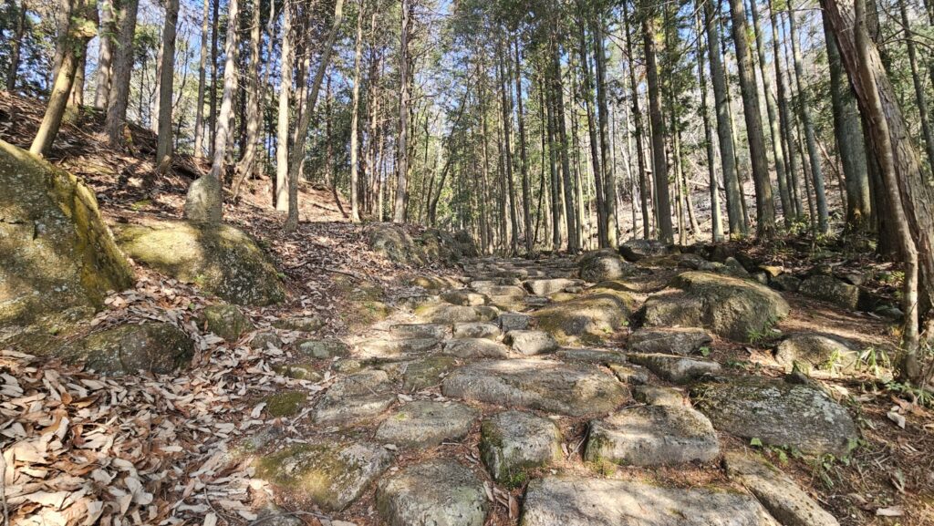
As you know, there is a great road called “Samurai road”.
This road was named “Nakasendo” in the past.
Nakasendo means the road consits of mountains and a centeral road in Japan.
This anciante road has histrical and significant signetures all around.
Today, I will explain it deeply as a local cyclist.
I live in Seki City that is located in center of Gifu Pref.
Today, it was entirelly sunny day, that’s why I wanted to go to Nakatsugawa to take lunch as a seafood boal.
The road of histrical atmosphere named “Nakasendo”.
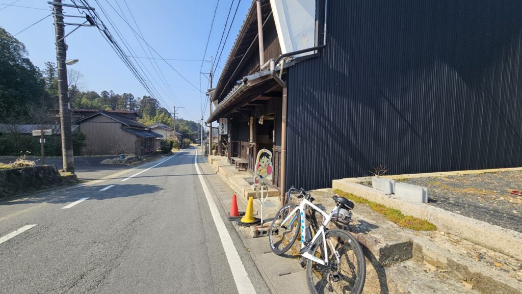
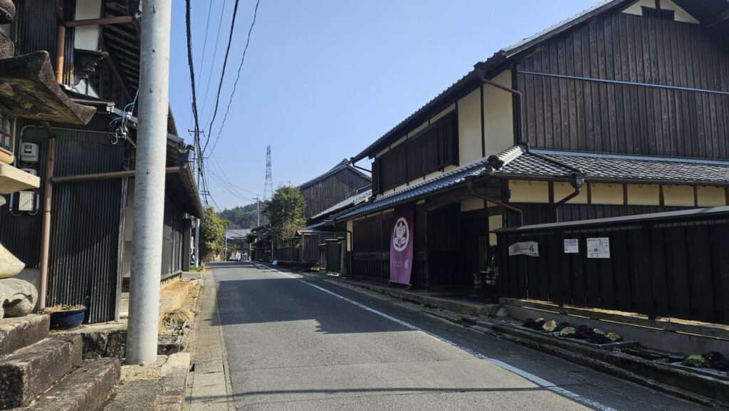
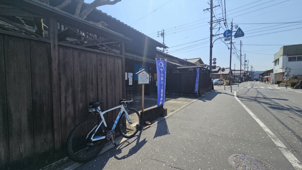
I went to a post town called Hosokute that is small town.
The place is already 400 m to 500 m.
I had to climb at least 250 m from the base of the mountain pass.
When you arrive at the center of Hosokute, you can see the anciante old building called “Daikokuya”.
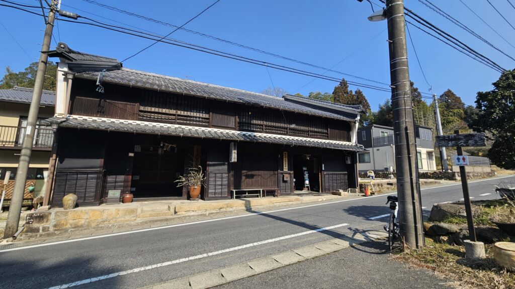
In the past, this building was an accomodataion for noble people.
Road of history
In the past, the government in this era had to take a power from many small countries in Japan.
From the purpuse, the government decided to collect other country’s leaders from the own countries to Tokyo.
It was tought decision for other countries.
This is because they had to spend a lot of money and labors.
This system calle “Sankin kotai” in Japan.
The government decided to make several post towns along with the road.
From the reason, there were several post town in this area.
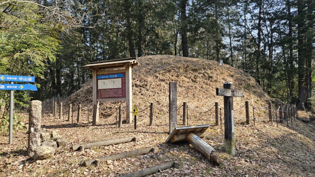
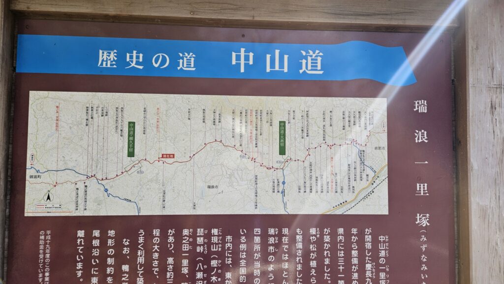
The mile stone called “Ichiri duka”.
Anyway, the road has a lot of mile stones called “Ichiri duka”.
Ichiri was anciante measure of the distance.
It was 4km away from the previous mile stone.
Discrimination of Nakasendo
This mile stone (Ichiriduka) is well concerved from the past.
Its about 4km away from the other mile stones respectively.
The anciant tourists was able to be guided by the land mark during a long jurney without concern.
If you can arrive at the Biwa touge, you can see the post town called “Ookute” immediately.
The post town named “Ookute”.
The post town named “Ookute” has also well concerved anciant atmosphere.
The post town is located in 500 m high increadibly.
In fact, there was a huge tree called “The big cedar of Ookute”.
Nowadays, the tree was broken due to having long rain a little while ago.
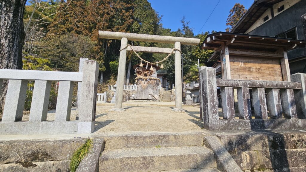
This tree looks like living yet.
The town has well concerved cultural environment.
Go to Ena that is small town in East of Gifu Pref.
The Nakasendo continues to Ena town.
The town has only 44,000 people, this town has well concerved land mark.
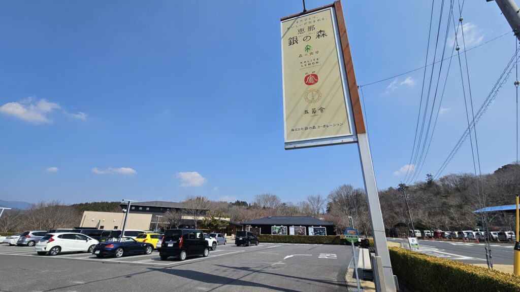
For example, Ena Gin no Mori has great modern atmosphere.
The facility can be collecting a lot of torists from modern cities.
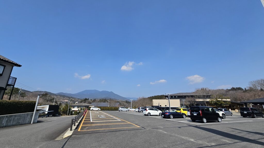
We are able to see the scenic mountain Kasagi yama clearly from the point.
The great valley called “Enakyo”.
Also, the town has great valley called “Enakyo”.
There are several facilities that consists of restaurant, cafe, and souveniorshops.
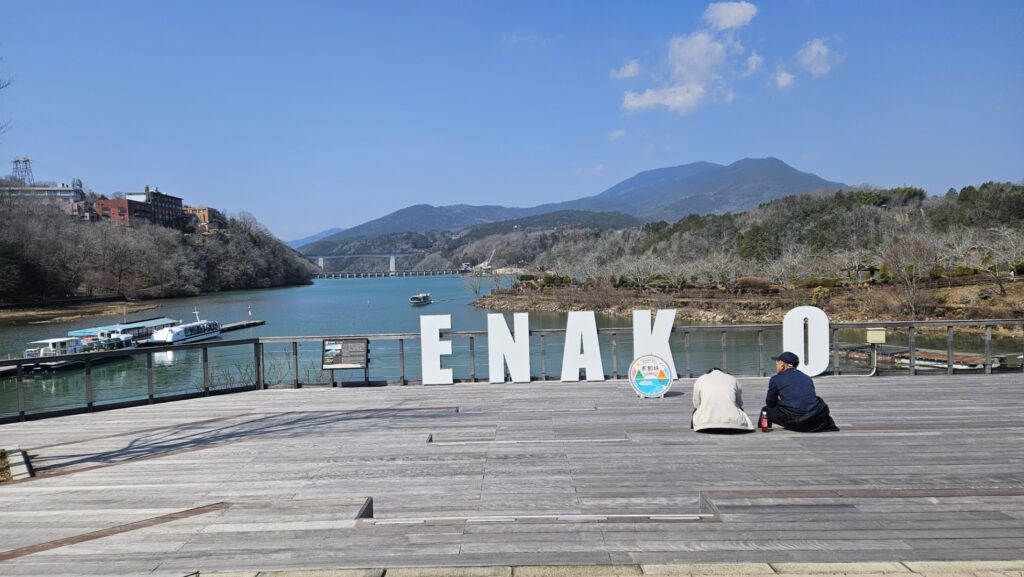
We can also take pictures from this spot.
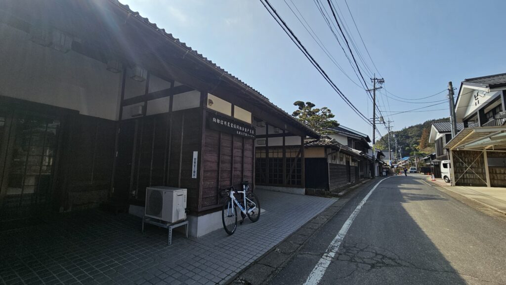
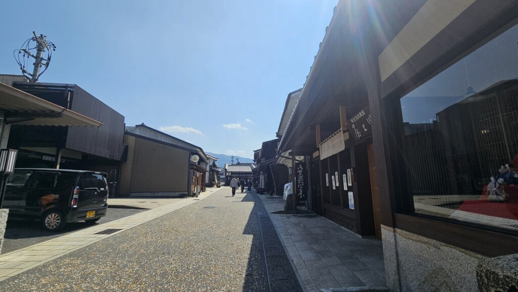
Nakatsugawa
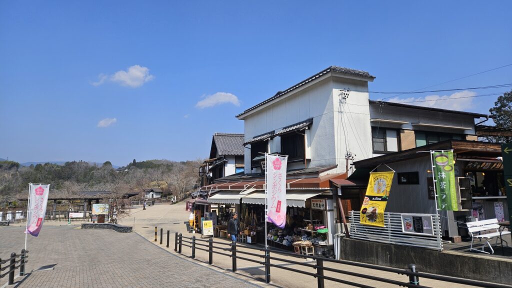
Nakatsugawa city has a lot of histrical districts.
In the past, the city is one of the most huge post towns in the past.
From the history, there are a lot of accomodations, shops, cafes, and restaurants.
In this day that I can go cycling, I took lunch as a seafood rice boal.
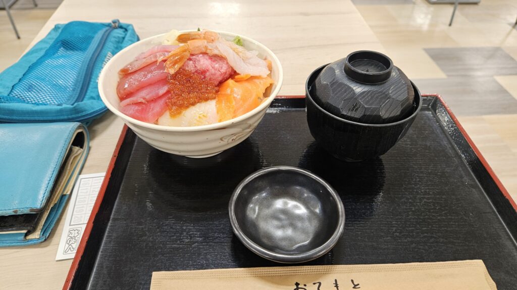
Its only 690 yen surpprisingly!!.
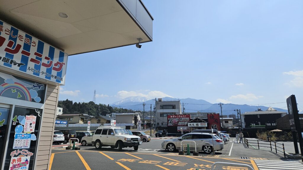
When I was in out side of the shop after taking lunch, I can see the great mountain called “Ena mountain” beautifully.
The shopping district is located in next to this huge facility.
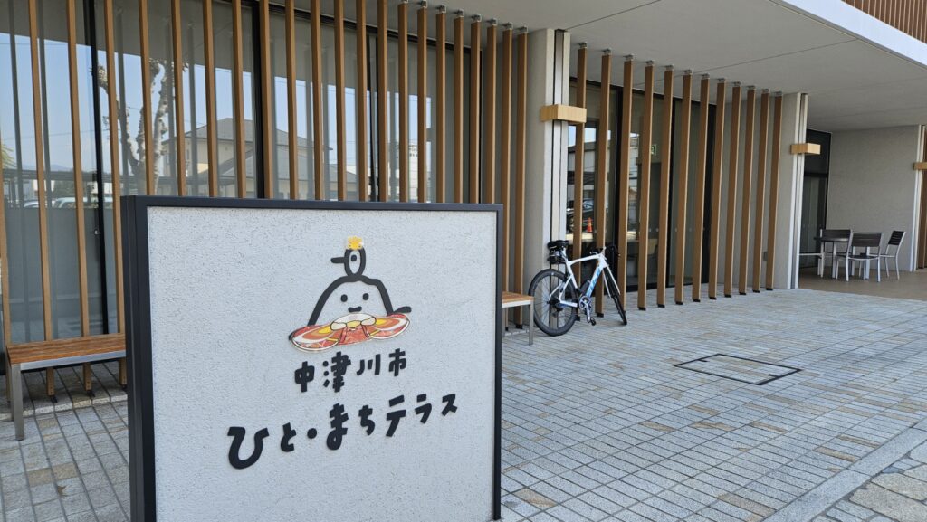
The leargest post town in this region called “Nakatsugawa”.
Nakatsugawa is located in the edge of the east of Gifu Pref.
From the geography, the city was known for its significant city of the edge of the countries in the past.
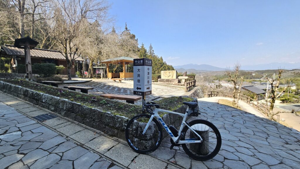
I can reached the top of the hill by bike.
I can see all around from the view spot.
The huge post town named “Ooi”.
I can reached the final distination of the post town in this cycling.
This area has great atmosphere as well.
If you can go to the place, you can see all around and you can see histrical moment.
I definitely think so.
Thank you for reading!!.
Distance:160km,
Altitude:2300m
Consumption of calorry:3500kc